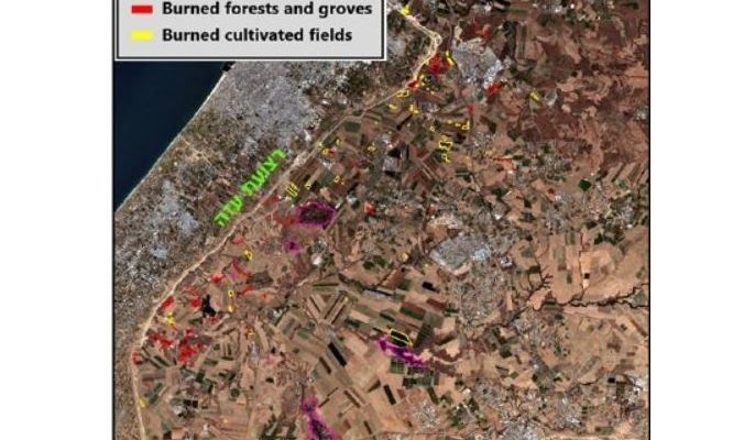
Algorithm enables emergency workers to safely and efficiently map blazes by analyzing satellite imagery.
By World Israel News Staff.
Over the last two years, incendiary balloons and kites launched from Gaza have torched large swathes of Israeli farmland, forestry and nature reserves. Multiple balloons, high winds and heavy smoke have posed major challenges for firefighters battling those blazes.
Researchers at Ben Gurion University have come up with an algorithm to allowing firefighters to monitor and map out the fires safely and efficiently. The breakthrough is especially timely with this week’s surge in terror balloons and Israeli retaliatory strikes on Gaza,
The algorithm, called the Aerosol Free Vegetation Index, distinguishes between normal and burnt land by analyzing satellite images.
Ben-Gurion University Professor Arnon Karnieli said in a statement that the algorithm can see through heavy smoke cover, enabling firefighters to map out fires more effectively.
“The spectral signal of green agricultural lands is the same with or without a thick pall of smoke,” Karnieli said. “Satellite images taken over a number of days can differentiate between newly burned land and older damage.”
Wildfires sparked by incendiary balloons and kites have destroyed an estimated 12,000 acres of Israeli land. Moshe Baruchi, a veteran forester with the Jewish National Fund, told Ynet News, “There are forests that will not recover on their own, and it will take us up to 30 years to rehabilitate them.”
The algorithm is already being used by the European Space Agency to monitor air quality threats to vegetation.


